Navigation Prototype
Nebraska State Fair pedestrian routing · Test page
Advanced test controls
Navigation Point Audit
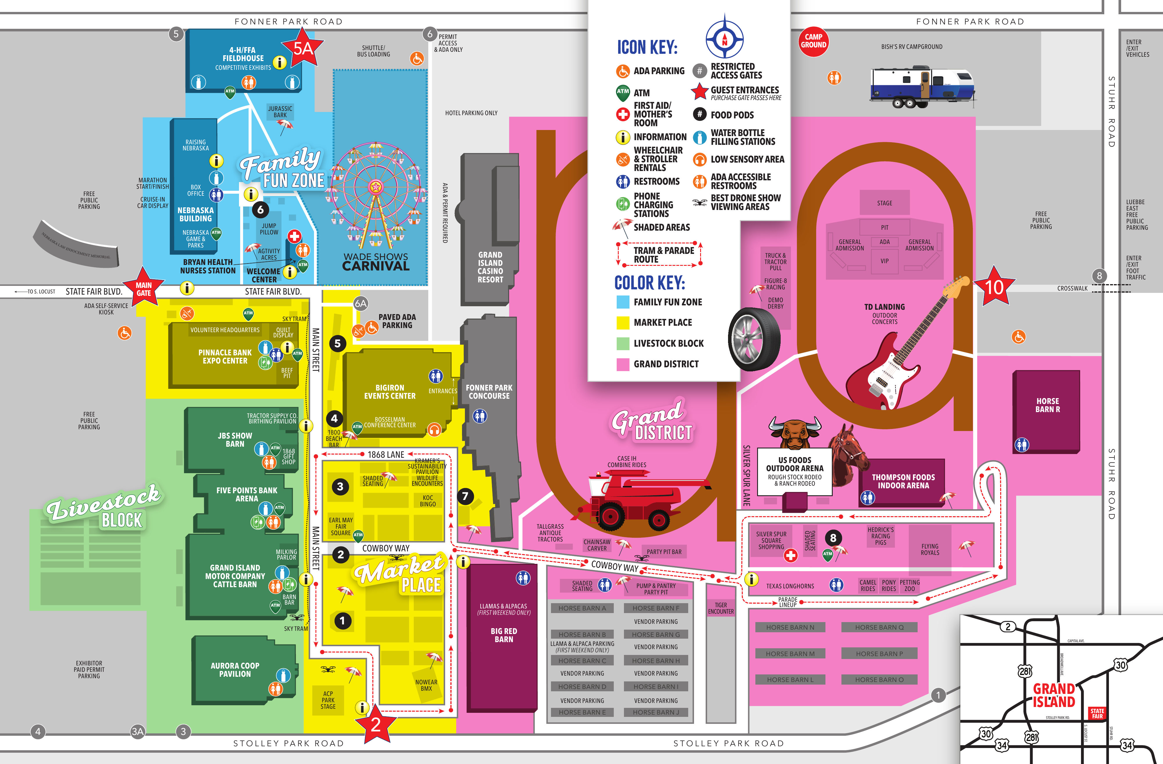
Display-only review of current PED_NODES against the official artwork.
Approximate artwork calibration — routing remains GPS-based.
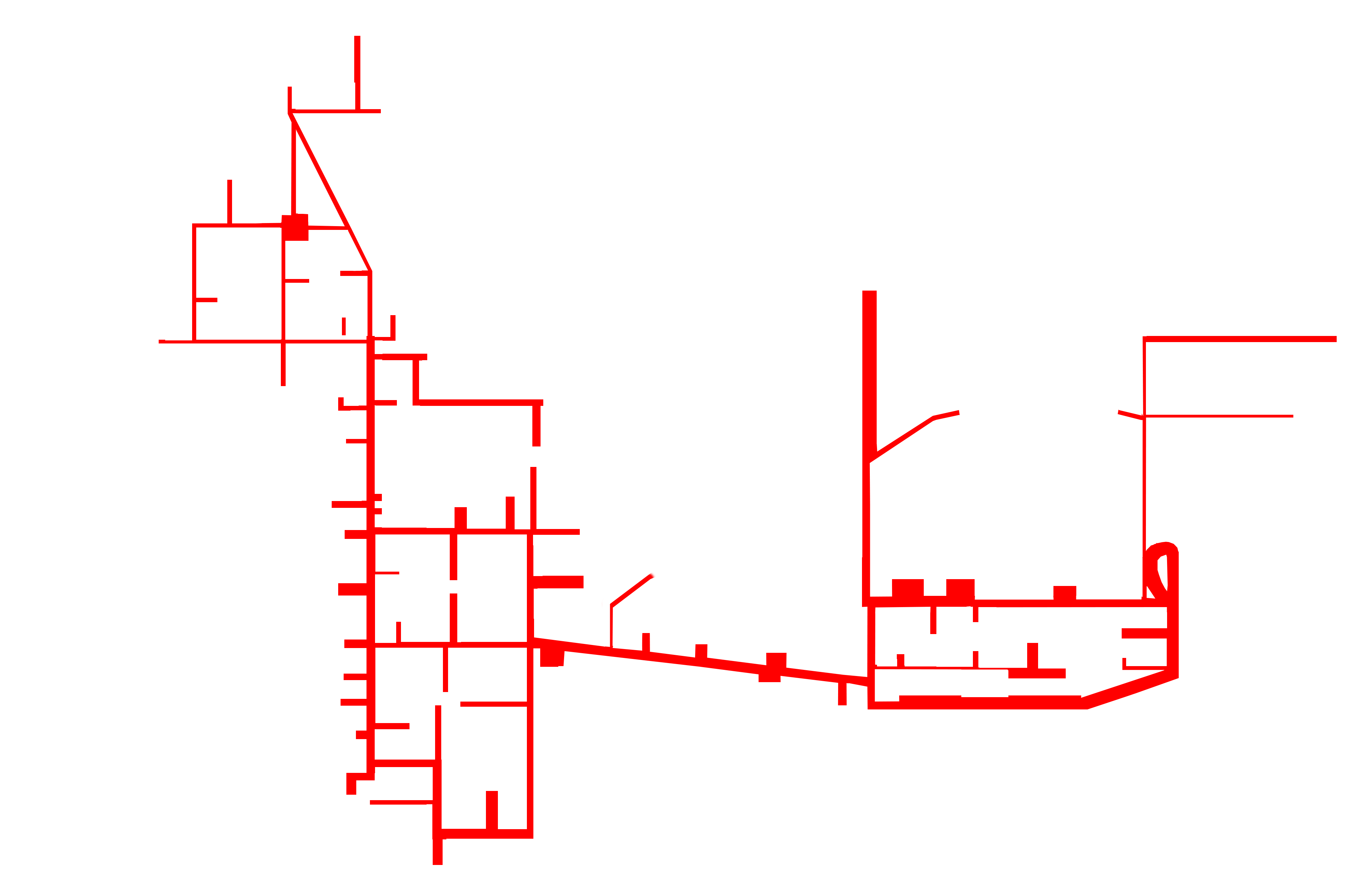
Corridor Mask Route Test
Photoshop walkable layer · A* grid routing · test page only
Corridor route found · 5 display points
Main Gate → 1800 Beach Bar · Start entrance #31 · End entrance #100
Mask distance: 1,106 artwork pixels. Start snap: 5px · End snap: 5px.
Walkable Layer Mode
Paint permitted walking surfaces on the official artwork.
Debug
- Selected destination
- Petting Zoo Entrance
- Test start
- Real GPS Location
- Routing status
- —
- Nearest routing node
- —
- Destination node
- Petting Zoo Entrance (petting_zoo_entrance)
- Route nodes
- —
- Total route distance
- —


Test prototype only. Visitor is snapped to the nearest legal pedestrian node; routing follows surveyed edges only — no shortcuts, no routing through restricted gates or buildings. Tram corridors are pedestrian-accessible.